|
ChartTiff
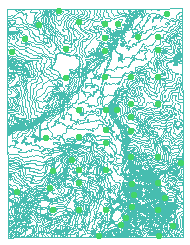
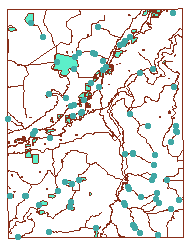
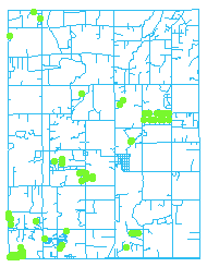
ContoursPlus includes the DLG Overlays Data Set, a set of Contours and the Wetlands Quad.
ChartTiff
ContoursPlus includes:
-
The corresponding DLG quad set of Overlays.
-
DLG Layers come as an ESRI Shapefile / AutoCAD DXF / AutoCAD DWG file.
-
All Layers may not be present.
Users can review DLG layers available using the
Vector Data / DLG / Select Full Degree Menu.
-
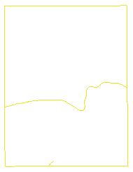
A Contour generated from the LATEST USGS 3DEPm (3D Elevation Program).
-
Contours come as an ESRI Shapefile / AutoCAD DXF / AutoCAD DWG file.
-
Contour Interval selectable at Check-Out.
-
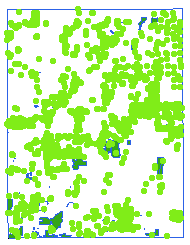
The corresponding Wetlands quad.
-
Wetlands come as an ESRI Shapefile / AutoCAD DXF / AutoCAD DWG file.
-
Projection and Datum options are selected during Check-Out.
Optional Overlays Available
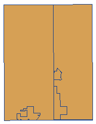
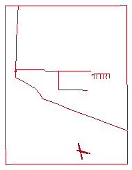
As Example: 1:24,000 Scale Quad O40105a1 -- Erie, CO
 |
 |
 |
|
BD -- Boundaries |
HP -- Hypsography |
HY -- Hydrography |
| |
|
|
 |
 |
 |
|
MS -- Man-Made Features |
MT -- Misc Transportation |
NV -- Non-Vegetative Cover |
| |
|
|
 |
 |
 |
|
PL -- Public Land Survey |
RD -- Roads
|
RR -- Railroads |
| |
|
|
 |
 |

|
|
SC -- Vegetative Surface Cover |
SM -- Survey Control |
Wetlands |
| |
|
|
|
ContoursPlus Individual Quads
-
Contours are generated from the 3DEP (3D Elevation Program) data.
Click for Details
-
Wetlands from the National Wetlands Inventory
Click for Details
-
DLG Overlays Based on Availability
-
Includes all Available Large 1:24,000 Scale Overlays
-
Non-Available Large 1:24,000 Scale Overlays are supplied
from Overlays generated from the Intermediate 1:100,000 Scale Overlays.
-
Some overlays regardless of scale may not be available from the USGS.
In this case some overlays may not be provided.
-
-
Individual Quads available in:
-
ESRI Shapefile format
-
AutoCAD (DWG & DXF) Formats
-
Note: 24 hour turnaround for Internet downloads on Contours and Overlays
-
Available Projections
-
UTM - User Selectable Zones - NAD27 / NAD83 / WGS72 / WGS84
-
State Plane - User Selectable Zones - NAD27 / NAD83
-
Latitude / Longitude - NAD27 / NAD83 / WGS72 / WGS84
-
Web Mercator
- WGS84
-
Contour Units (selected during check-out)
-
Select 5, 10, 20, 25, 30, 40, 50, 60, 80, 90, 100 Feet / Meters
-
Other Intervals available by request
-
Available via Internet Download or USB Flash / External Drive
|
ContourPlus Quads are NOT available as
1 Free Download
ChartTiff ContourPlus quads are sold by:
|
|
|
|