|
If your a user of GeoPlus Petra you can easily read
geo- referenced Collarless Geo Topographic Maps and Digital Orthophoto Quarter Quadrangles (DOQQs) files.
Follow these simple steps from:
Jewel Wellborn
Hydrocarbon Exploration and Development, Inc.
Training services for GeoPlus Petra
Littleton, Colorado
(303) 933-0533
From the Map Module, select the Add Image Icon from Overlay Tool Bar,
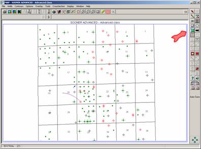
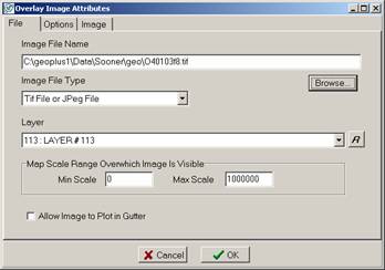
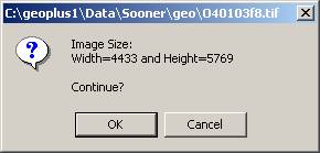
Next, select an area using the mouse, and the following screen will appear:
Choose the “tif” file and select the overlay layer to store the image:
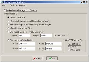
Using the “options” tab select the following:
Choose the Select File and find the associated ".tfw" file:
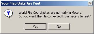
Depending upon the projection that your ordered your ChartTiff tiff file in, and the projection of your project, you will need to determine whether the World File ".tfw"
needs to be converted from meters:
For your ChartTiff data, select the same projection as your project when you ordered, and there will be no need to change the World File coordinates.

Select the "*.tfw" file and the program will automatically choose the appropriate location and X and Y Min- Max sets for the tiff image.
Select OK:
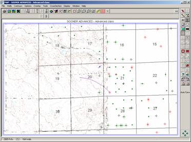
The Program “lands” the image in the appropriate space:
Zoomed into area:
Northwestern area of map with Topo:
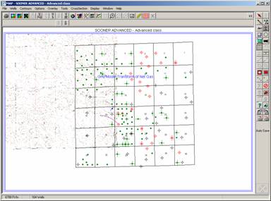
Remember to Save your overlay file.
|

